EGARTOP we areIt's a company from Terrassa founded in 2017.
Our team is made up of surveyors, draftsmen, technical office and 3D laser scanner technicians with more than twenty years of experience in the sector.
Our services are aimed at companies and professionals in the construction, private works and public administration sectors, carrying out projects throughout Catalonia.
We have the most advanced technology in topography to develop our projects with the greatest possible precision, both in the field and in the technical office.
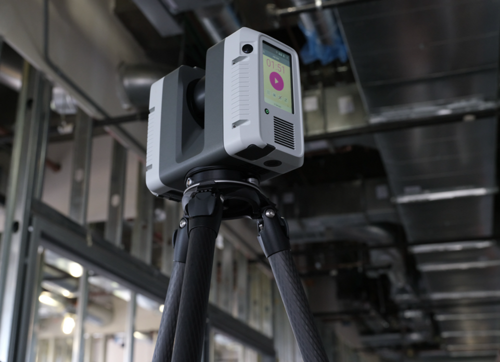
We also have the LEICA RTC360 laser scanner, a high-end and latest generation model.
The laser scanner allows us to collect information, register and filter the point cloud to subsequently obtain floor plans, sections and elevations with the greatest possible precision.


