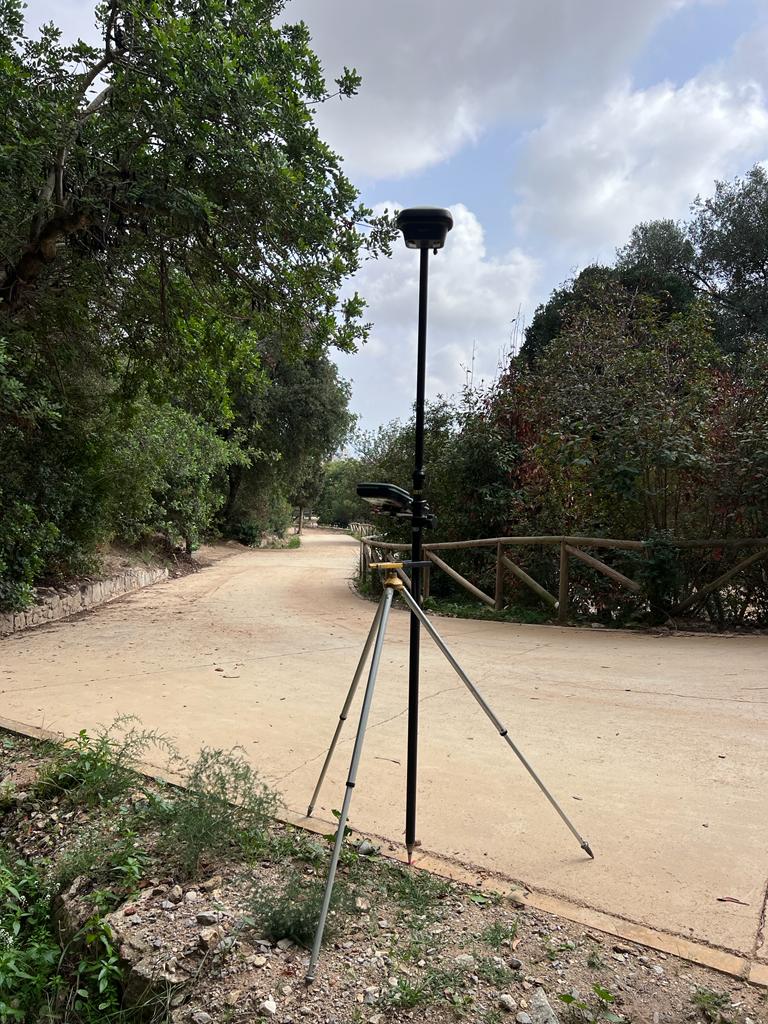
OUTDOOR SCANNING
At EGARTOP we take care of
georeferencing the paths and collect all the data with the Leica RTC360 Laser Scanner to be able to
record all changes and improvements.
Was a
extensive field work and we learned along with the most cutting-edge technology how to develop a
project in a natural environment with trees.
NEW SEWER
These are images of a project to georeference and carry out
topographic plans of the
new sewer logs from the streets, too
we guide new elements urban fixtures, as well as fountains, gardens, benches, streetlights and pavements.
The
classical topography It was our work tool for carrying out this project.


